


Get Advanced Insights on Any Topic
Discover Trends 12+ Months Before Everyone Else
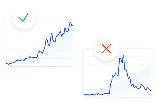
How We Find Trends Before They Take Off
Exploding Topics’ advanced algorithm monitors millions of unstructured data points to spot trends early on.
Keyword Research
Performance Tracking
Competitor Intelligence
Fix Your Site’s SEO Issues in 30 Seconds
Find technical issues blocking search visibility. Get prioritized, actionable fixes in seconds.
Powered by data from
Latest Blog Posts
Featured Case Studies
See what's trending before everyone else
Each week, we'll send you our best Exploding Topics. Plus, expert insight and analysis.
Lidar
Remote sensing method that uses light in the form of a pulsed laser to measure variable distances to the Earth. Lidar generates precise, three-dimensional information about the shape of the Earth and its surface characteristics, making it valuable for applications such as topographic mapping, forestry, urban planning, autonomous vehicles, and archaeology. This technology is beneficial for professionals in fields like environmental science, urban development, and autonomous vehicle engineering.
Lidar was discovered on April 24th 2023 and it currently has a search volume of 301K with a growth of +109%.
Growth
- Exploding
- Regular
- Peaked
Speed
- Exponential
- Constant
- Stationary
Seasonality
- High
- Medium
- Low
Volatility
- High
- Average
- Low
Save this topic and build your own trend dashboard.
Available with Exploding Topics Pro, try it now.
1.1M+ trends in our growing database.